


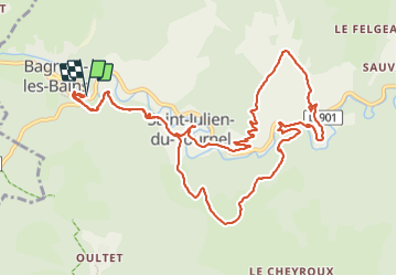


10,3 km | 14,5 km-effort


Utilisateur


Application GPS de randonnée GRATUITE
 SityTrail
IGN / Instituts géographiques
SityTrail World
Le monde est à vous
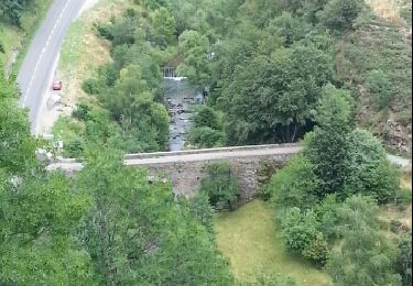
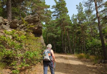
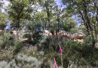
Randonnée Marche de 14,1 km à découvrir à Occitanie, Lozère, Mont Lozère et Goulet. Cette randonnée est proposée par nolsim.
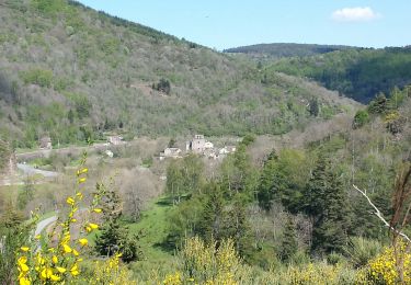
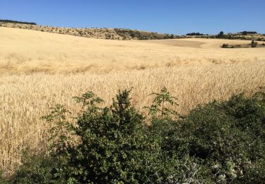
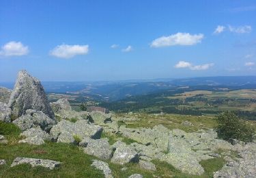
Belle rando, quelques magnifiques points de vue.


24 photos au total. Cliquez sur une photo pour les afficher toutes dans la galerie.

Autre activité

Marche
Marche

Cheval
Cheval
Marche
Marche
Marche